
Capability Catalog
From airframe to AI — every layer, one partner
Browse platform, payload, component, ground and software capabilities. Availability and exact specifications are confirmed per order against manufacturer qualification.
UAV Platforms
Airframes across every mission profile
5 capability lines
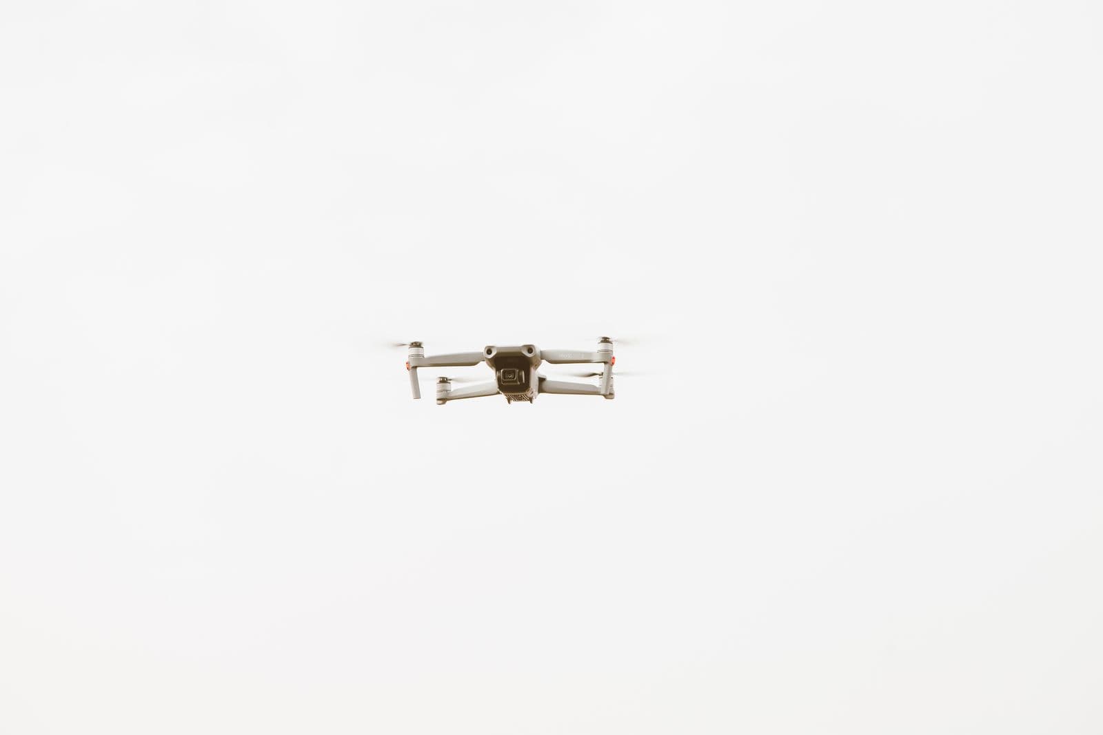
Multi-rotor, fixed-wing, VTOL and specialized platforms integrated with flight controllers, navigation and communication systems — from compact inspection drones to long-range survey aircraft.
Multi-Rotor UAV
On requestCompact and maneuverable quadrotors and hexacopters for inspection, photography, agriculture and security missions.
- MTOWUp to 45 kg
- Endurance20 – 70 min
Fixed-Wing UAV
On requestLong-endurance airframes for mapping, long-range survey and environmental monitoring over large areas.
- EnduranceUp to 4 h
- RangeUp to 150 km
VTOL Hybrid UAV
In catalogueFixed-wing efficiency with vertical take-off and landing — ideal for large-area mapping, industrial inspection and emergency response.
- Payload2 – 12 kg
- EnduranceUp to 3 h
Agricultural UAV
On requestPurpose-built spray and monitoring drones for precision agriculture over plantation and farmland.
- Tank10 – 50 L
- CoverageUp to 18 ha/h
Single-Rotor / Heavy-Lift UAV
In negotiationHigh payload-capacity airframes for logistics, delivery and specialized industrial missions.
- Payload10 – 60 kg
Payload Systems
Sensors and tools that make missions possible
6 capability lines
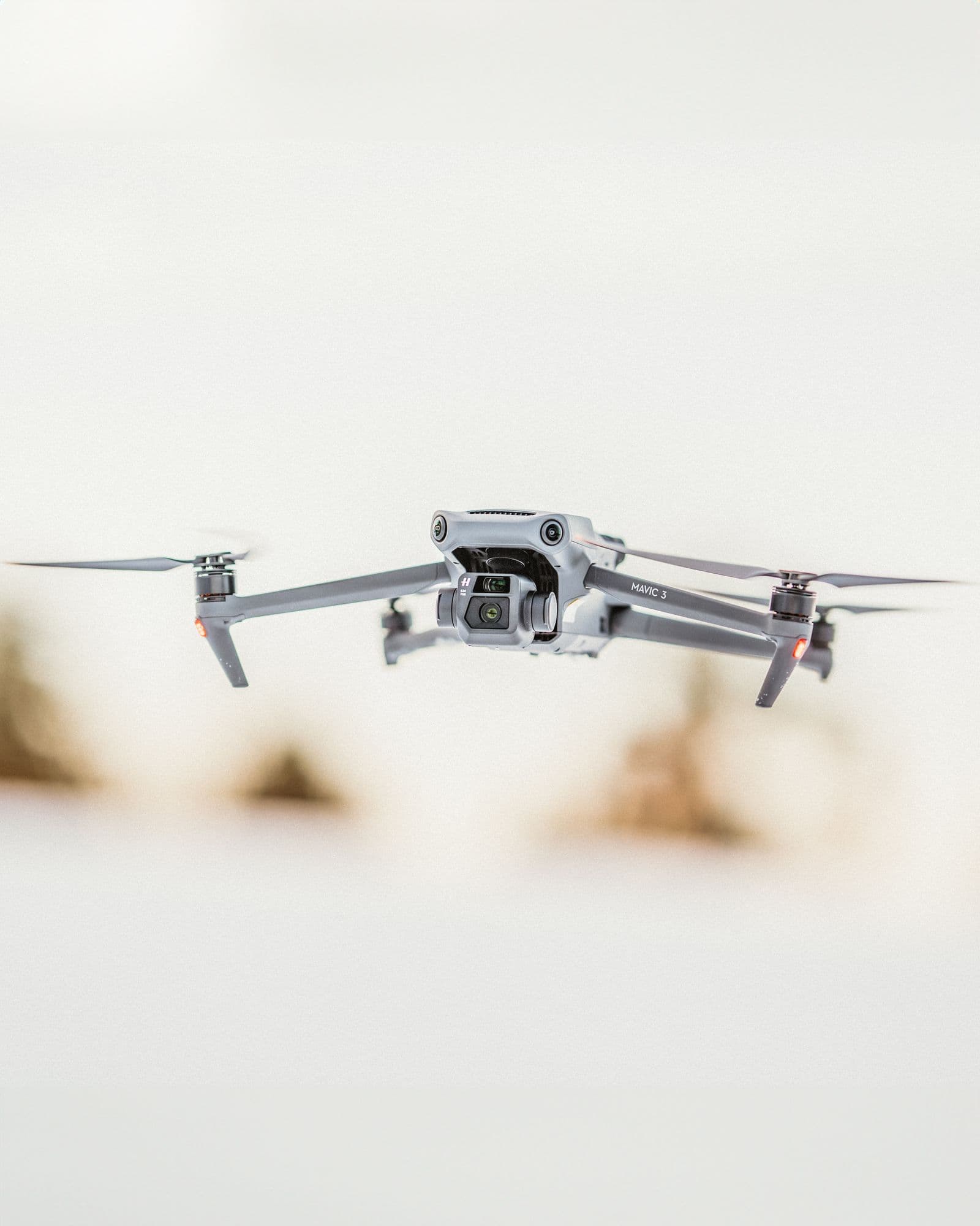
Cameras, thermal sensors, LiDAR, multispectral imagers, RTK positioning and spray systems — mission-ready payloads for every industry.
RGB & Zoom Cameras
In catalogueHigh-resolution RGB and optical-zoom cameras with stabilized gimbals for inspection and photography.
- Resolution20 – 61 MP
- ZoomUp to 23x optical
Thermal & Infrared
In catalogueInfrared sensors and thermal imagers for search, energy inspection and night operations.
- Thermal resolution384 – 1280 px
LiDAR Systems
On request3D mapping and survey LiDAR for terrain, infrastructure and volume measurement.
- RangeUp to 900 m
- Accuracy±1 – 3 cm
Multispectral Imagers
On requestMulti-band sensors for crop health analysis and precision agriculture.
- Bands5 – 10 bands
RTK & GNSS Modules
In catalogueCentimeter-level positioning for surveying, mapping and automated operations.
- Accuracy±1 cm + 1 ppm
Spray Systems
On requestPrecision sprayers and tanks for agricultural UAVs, from crop protection to seeding.
Request detailsDrone Components
The building blocks of every UAV
5 capability lines
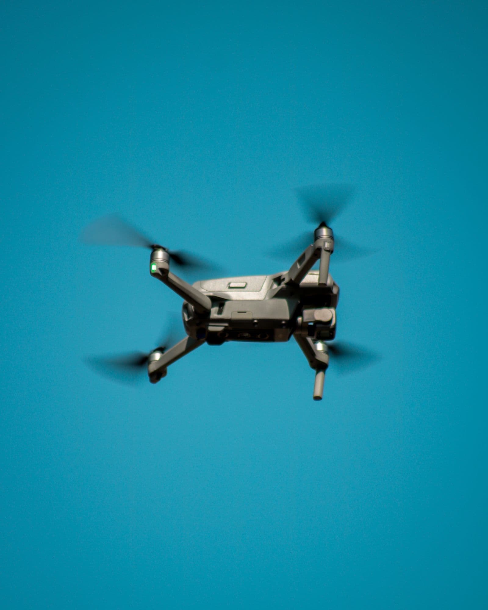
Flight controllers, power systems, communication links, mechanical parts and sensors — high-quality components and complete BOM sourcing for manufacturers and integrators.
Flight Controllers & Navigation
In catalogueFlight control units, GNSS and inertial navigation for stable, precise flight.
Request detailsPower Systems
In catalogueBatteries, motors and ESCs matched for endurance, lift and reliability.
Request detailsCommunication & Data Links
On requestRemote control, telemetry and video data links from 5 km to beyond-visual-line-of-sight.
Request detailsMechanical Parts
On requestFrames, propellers, landing gear and gimbal mounts for assembly and repair.
Request detailsSensor Modules
On requestObstacle avoidance, proximity, environment and mission-specific sensor modules.
Request detailsGround Systems
The infrastructure behind every operation
4 capability lines
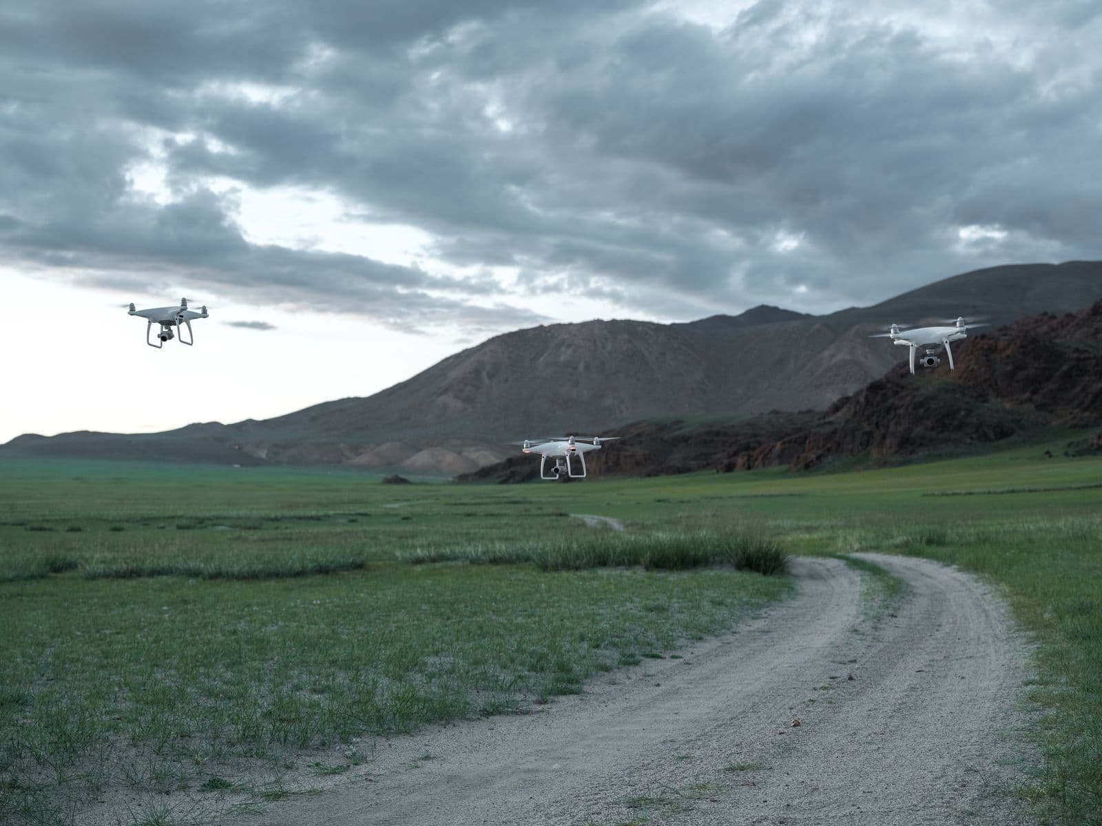
Ground control stations, docking stations, charging infrastructure and launch support that keep fleets mission-ready.
Ground Control Stations
In cataloguePortable and vehicle-mounted GCS for mission planning, telemetry and payload control.
Request detailsDocking & Charging Stations
In negotiationAutonomous docking and charging for fully automated, remote drone operations.
Request detailsCharging & Power Infrastructure
On requestChargers, power banks and field power solutions for sustained operations.
Request detailsLaunch & Recovery Systems
On requestCatapult launchers and recovery nets for fixed-wing and VTOL platforms.
Request detailsSoftware & AI
Intelligence layer for autonomy and insights
4 capability lines
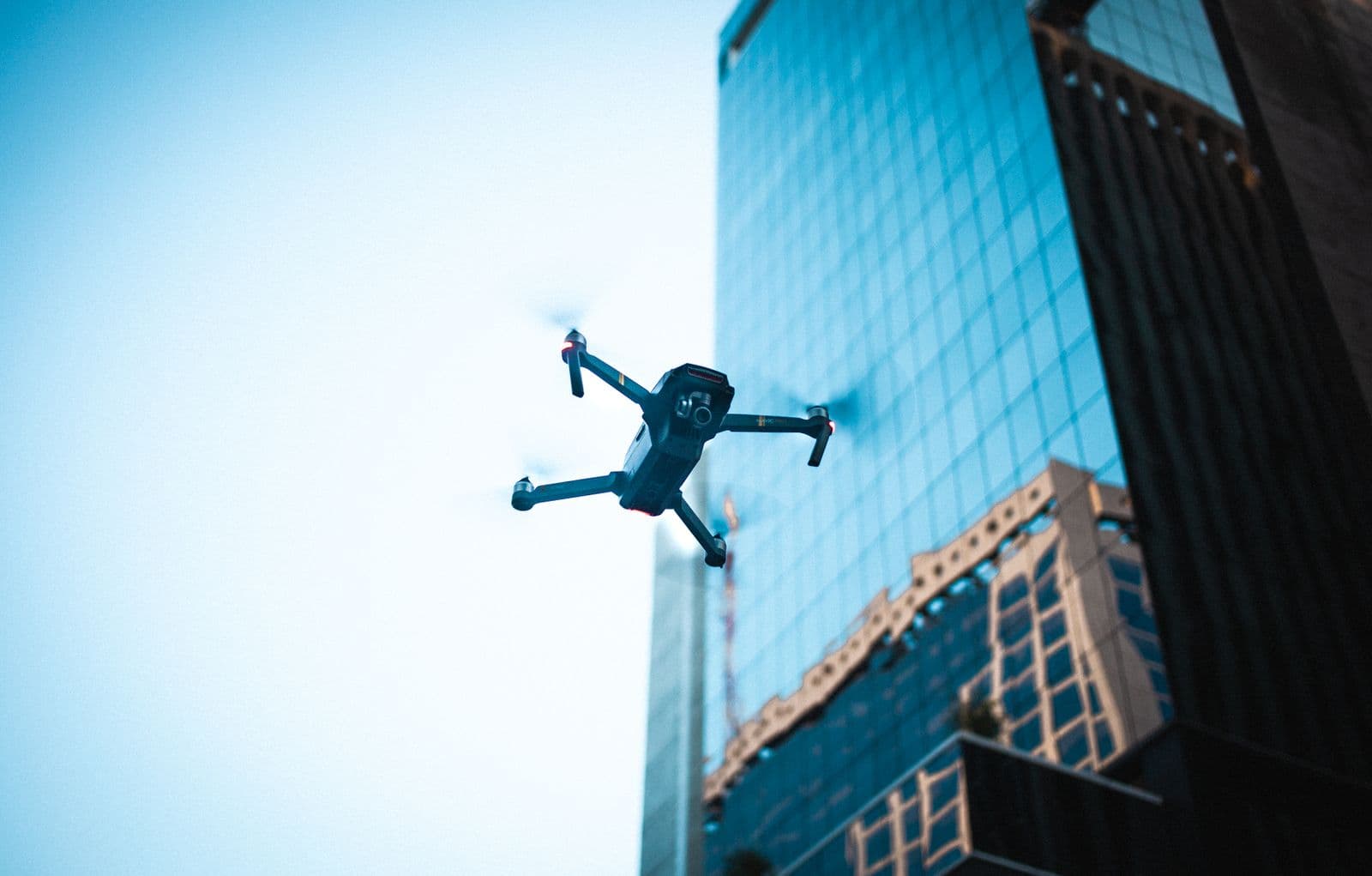
Flight control software, computer vision, fleet management and data intelligence that turn raw aerial data into decisions.
Flight Control Software
In catalogueAutopilot software, mission planning and ground station applications.
Request detailsComputer Vision & AI
In negotiationObject detection, image recognition and automated analysis on aerial data.
Request detailsFleet Management
On requestRemote operation and multi-drone control platforms for coordinated missions.
Request detailsData Intelligence
On requestGIS, photogrammetry and reporting pipelines that turn flights into deliverables.
Request details