
Industry Solutions
Construction & Survey
Site survey, 3D mapping and progress monitoring that keep projects on time and on budget.
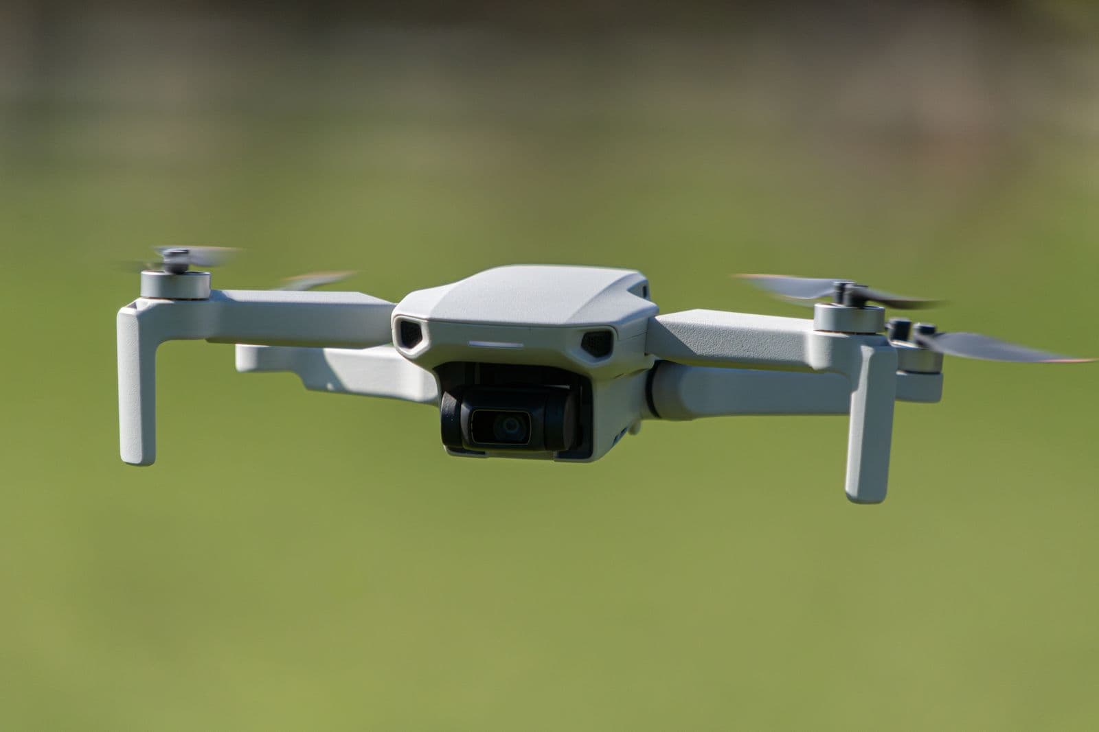
Site survey, 3D mapping and progress monitoring that keep projects on time and on budget.
Large infrastructure projects — from highways to mining — need frequent, accurate volumetric and progress data. UAV survey programs produce centimeter-accurate maps at a fraction of the cost of ground crews. Mordan supplies fixed-wing and VTOL survey systems, LiDAR, RTK and photogrammetry software for construction, mining and land development.
Key outcomes
- Centimeter-accurate site data
- Faster takeoffs & volume estimates
- Objective progress records
Applications
- Site survey
- 3D mapping
- Progress monitoring
Construction firmsMining operatorsLand developers